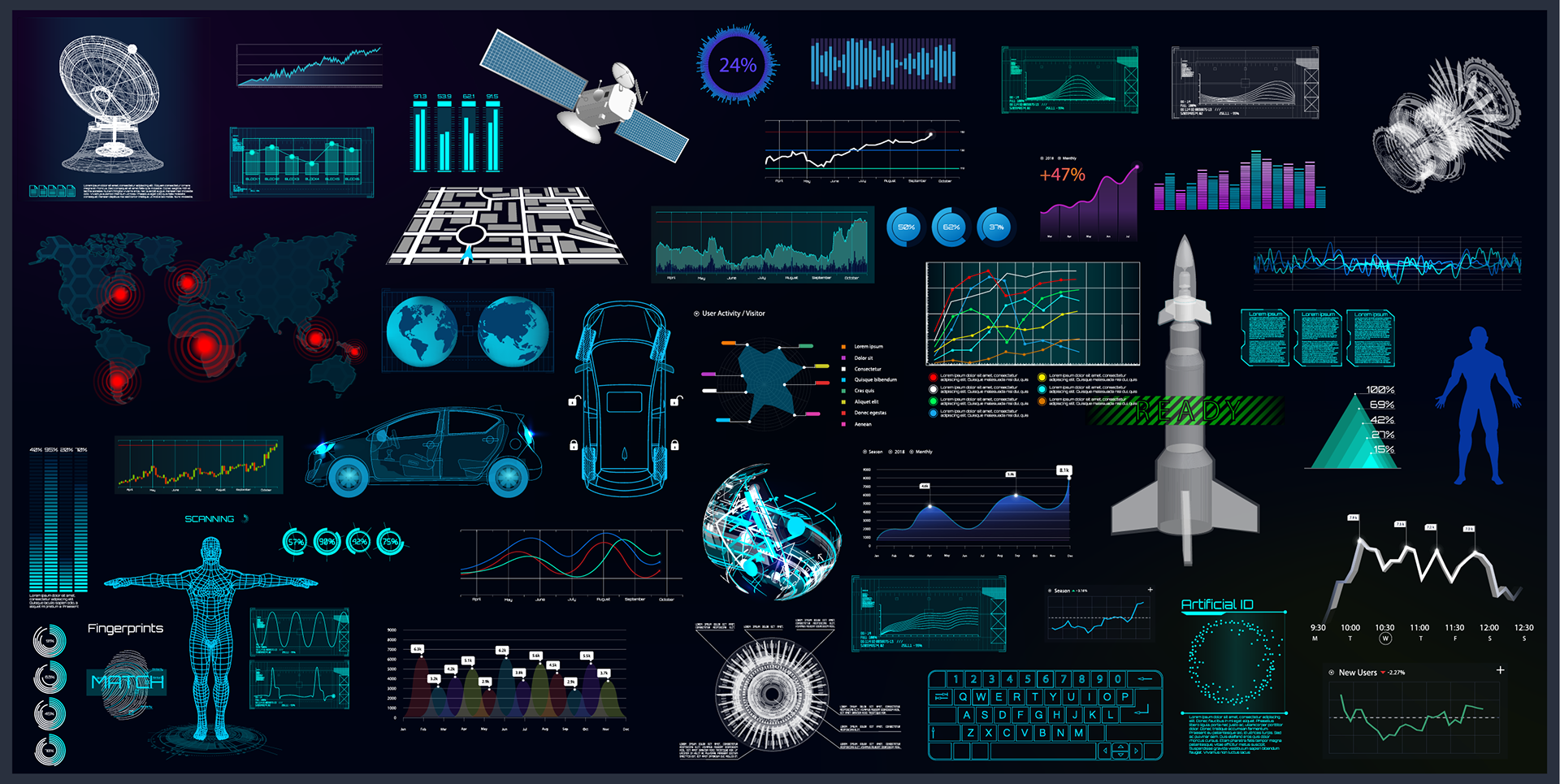


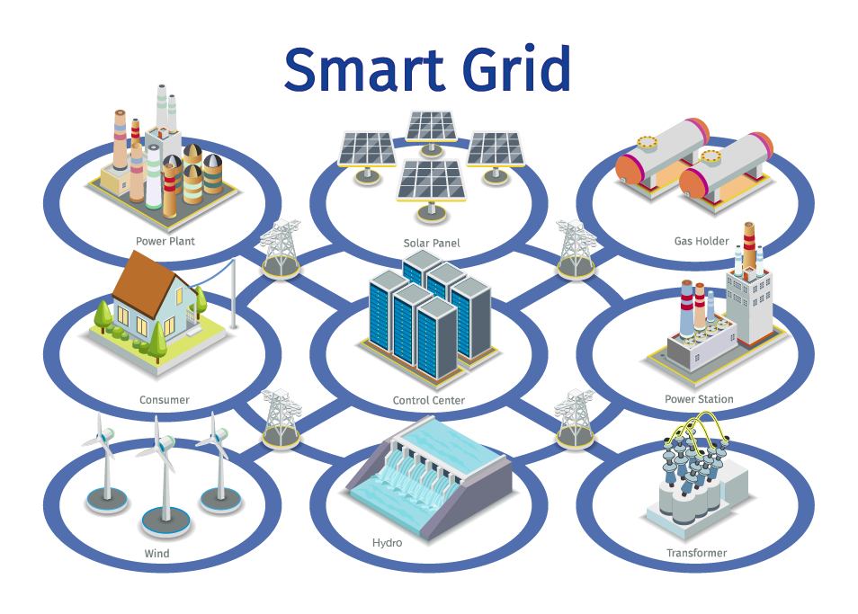
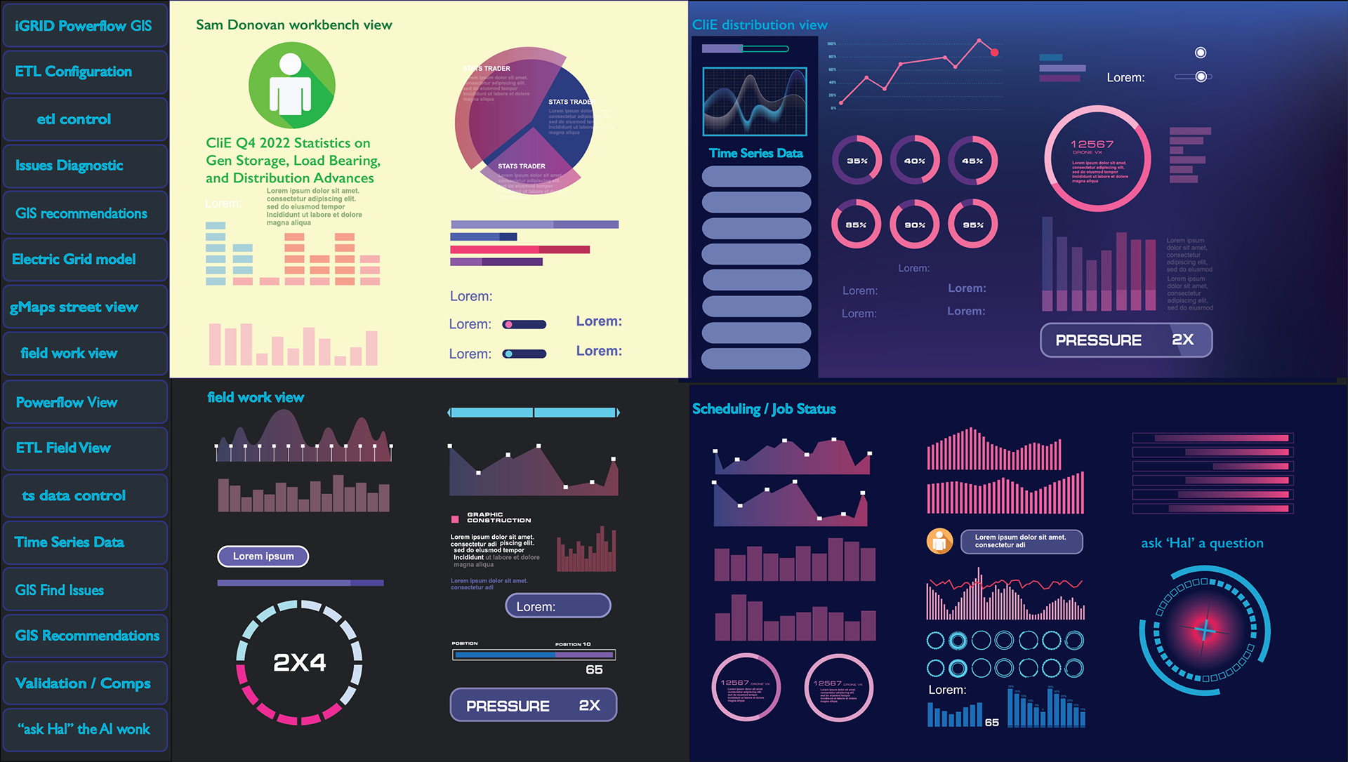


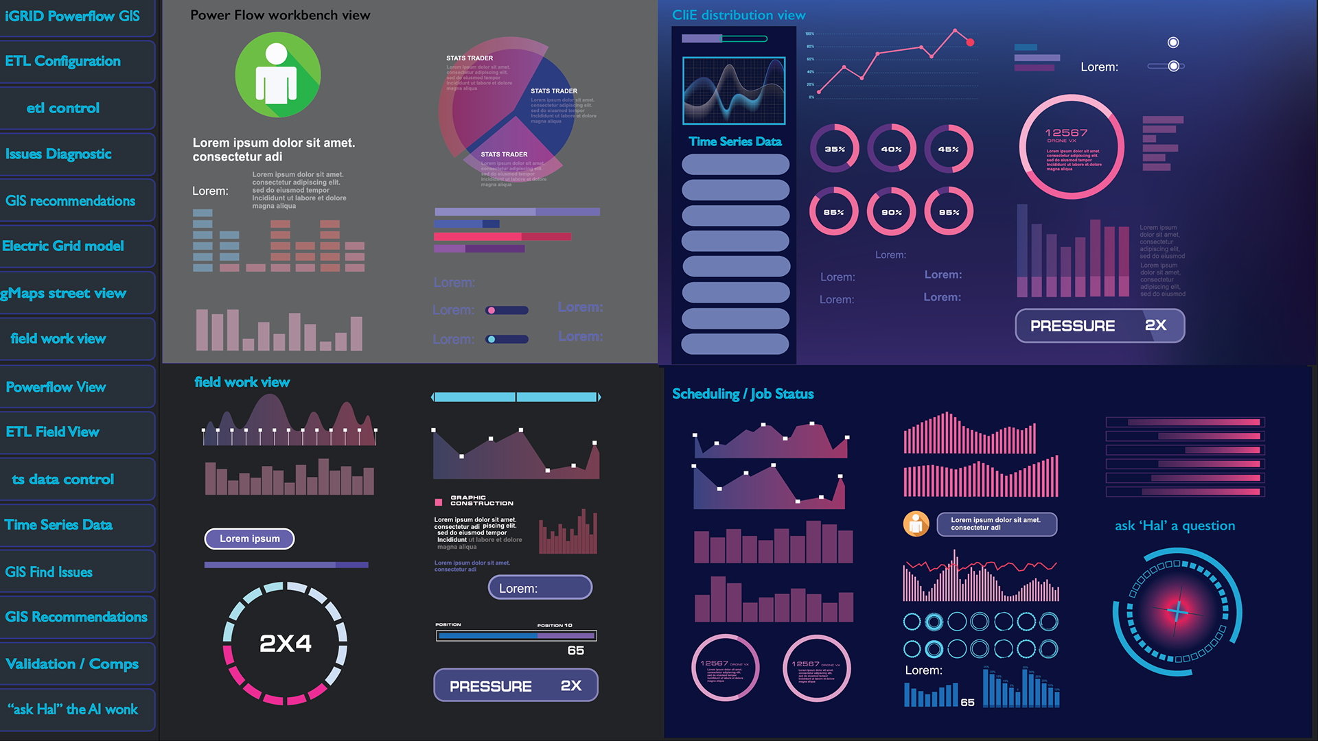


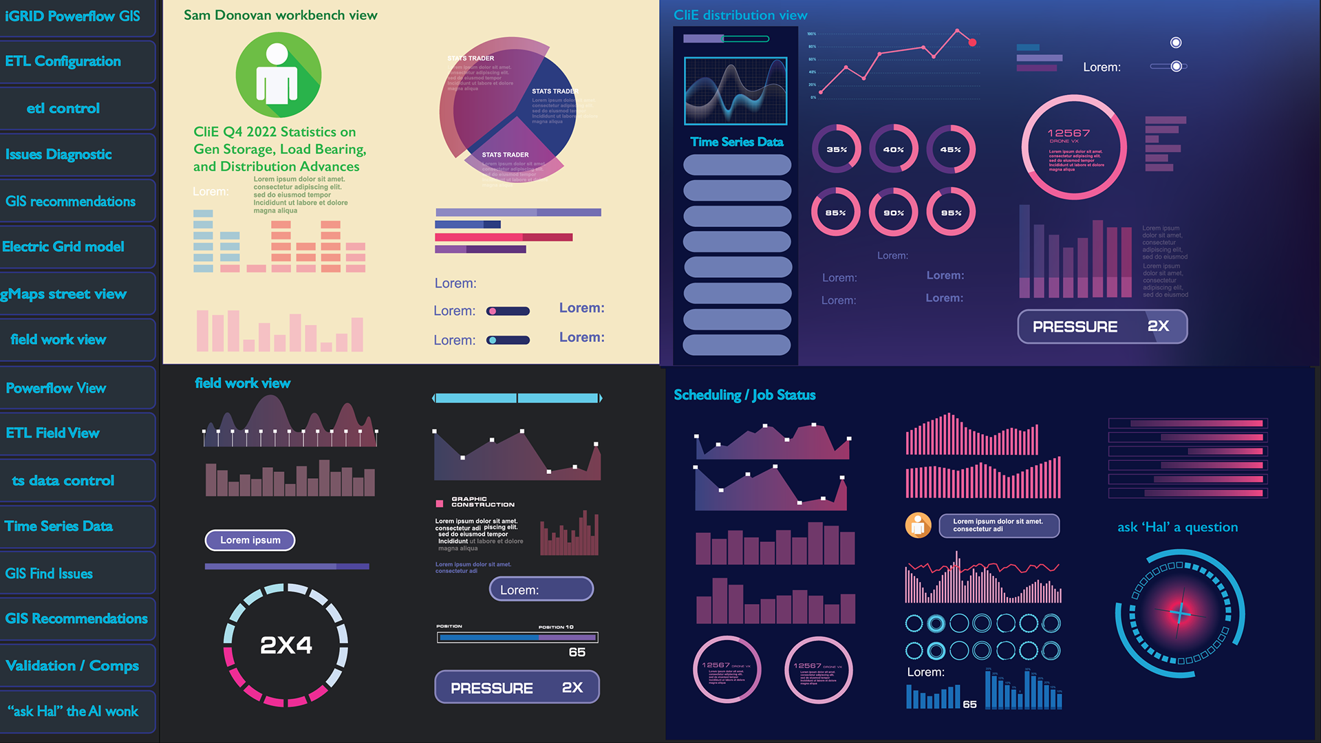
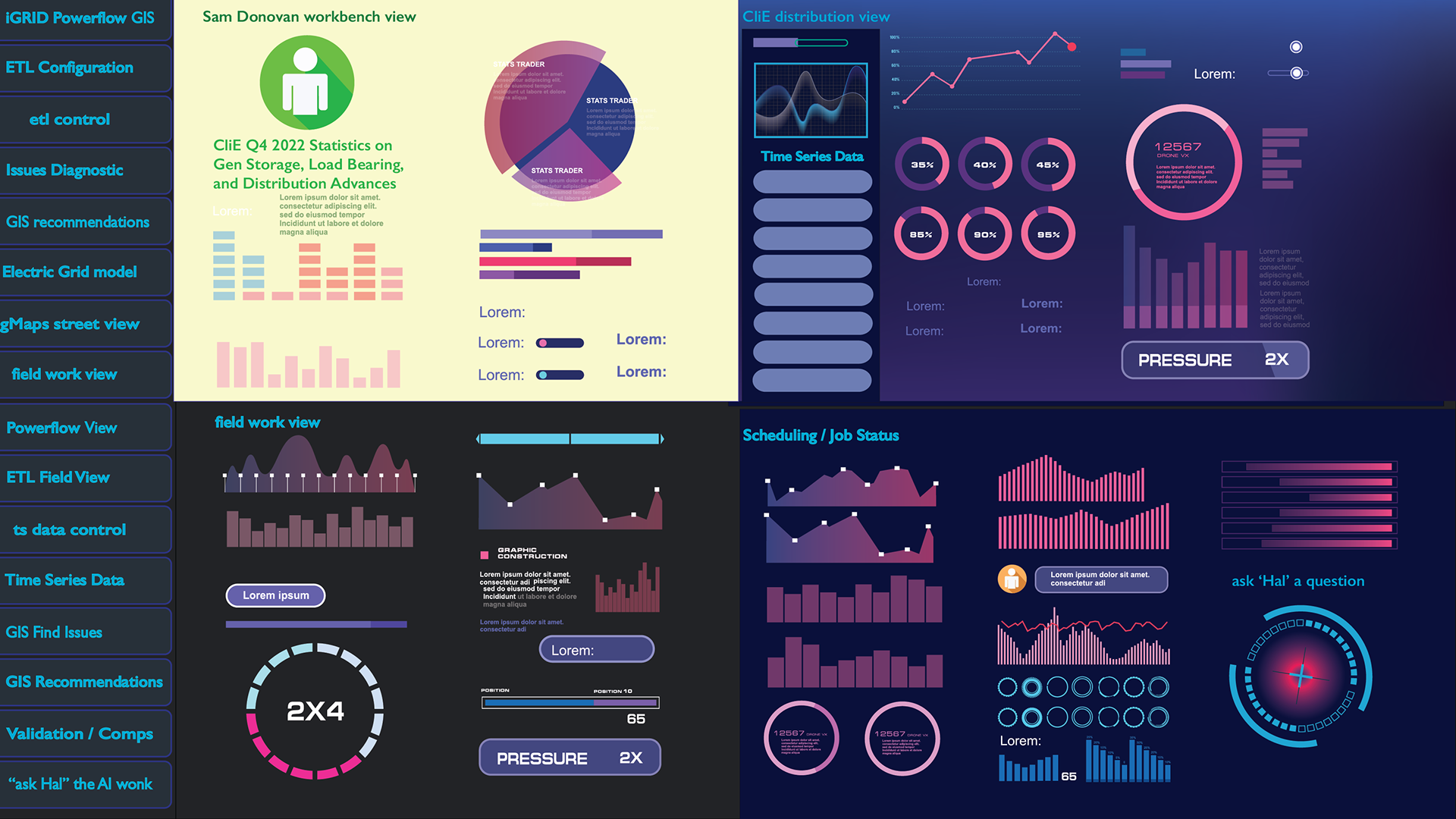


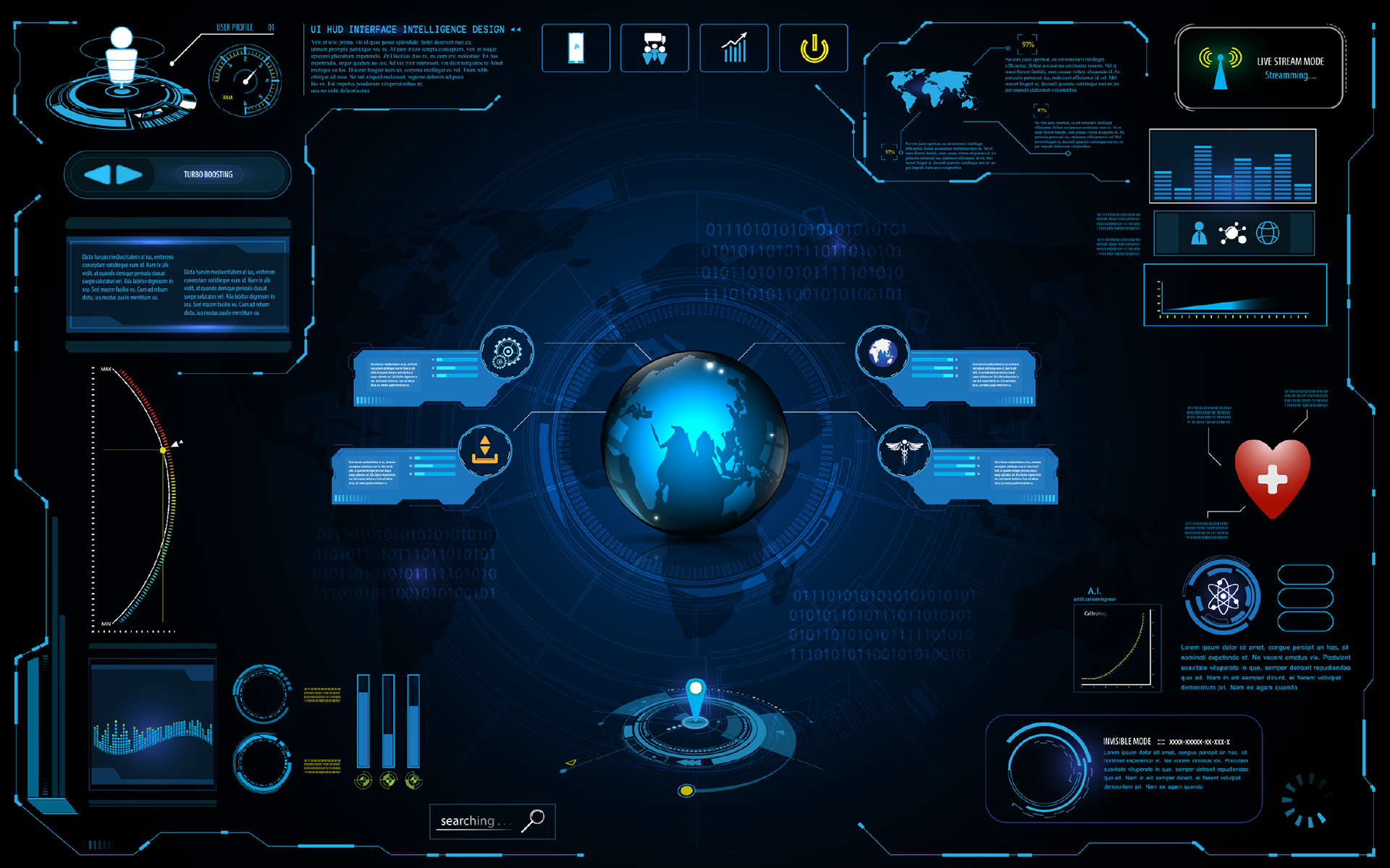
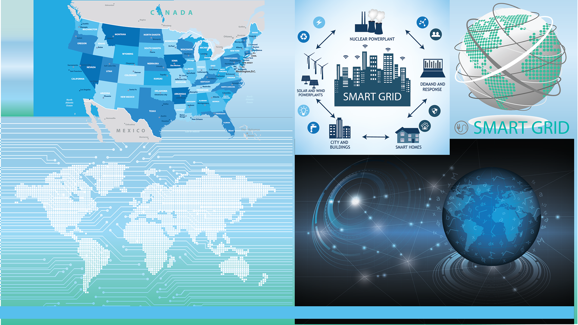

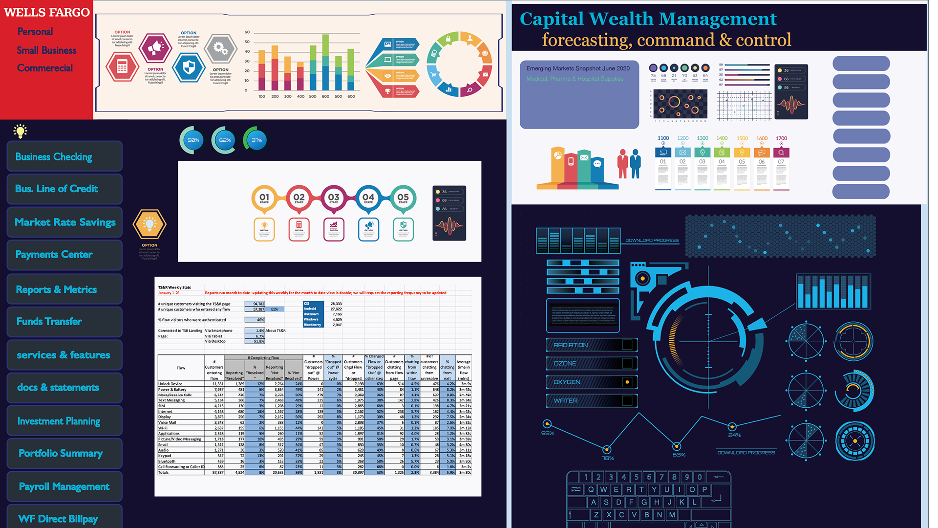
I have been involved in several Software Development Project involving GIS or Global Information Systems specifically filling a Product Designer or UI /UX Product Owner Role (sort of a specialized consultant) for overlaying Domain Specific ‘big data’ point parsed from multiple sources on top of Google Maps resulting in a Metro tube or US Interstate like (day or night color scheme) with metadata framework supporting multiple facets and User-toggle views for 1) Duke Energy Power Systems “Intelligent Grid” mapping real-time power consumption data onto a view of Power Lines, Power Plants, stations and substations displaying needed & ongoing repairs plus giving Business Decision Support tools around the need to build out infrastructure to meet future consumer & commercial demands. I have done similar work 2) for Axis Capital / Axis Insurance on a CAT Insurance Quoting program G3P that interface with Univ Scale catastrophe modeling apps AIR & RIM (unix predictive modeling of damage vis a vis earthquake flood fire and hurricane, terror threats, etc ) involved maps views and GPS overlays in addition to the accounting aspect of quoting the replacement values, insurance premiums, etc. Also FinTech dashboards for PwC using tableau or Microstrategy + Axure RP